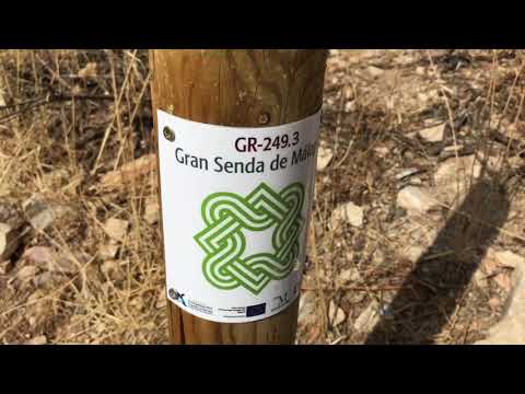
Itinerary
The first section of this trail runs towards Zamarra, Parrilla and Blanquilla farmsteads up to the kilometre marker 10.7. From that point to km 13.7 it goes over Bueyes hills and the Puercos Stream, and then around the Camorro de Cuevas Altas Mountains to the end of this stage.
Summary
This Alternative Route 3 of the Great Malaga Path links up four municipalities. In Stage 1, it runs through the clay and limestone hills where the network of southern tributaries of the River Genil have their source, near the Iznįjar reservoir. Then in Stage 2, it drops down to the level of the large river to run along its flood plains and follow its course. The route mostly runs through the municipalities of Cuevas de San Marcos and Villanueva de Algaidas, with two short sections through Villanueva de Tapia at the beginning and another at the end through Cuevas Bajas.
The first stage, between Villanueva de Tapia and Cuevas de San Marcos, begins with a long 12-kilometre section at a height of between 900 and 700 metres. It goes around the catchment areas of the River Genil’s tributaries, the Cerezo stream to the east and the Burriana and Los Puercos streams to the west, clinging closest to this latter stream. The route solely uses country tracks and passes through a number of hamlets in Malaga’s immense expanse of Olive trees. The final part climbs back up to an Height above SLe of 700 metres, at times up steep sections and broadly heads north. It then descends steeply while skirting round the limestone hills of the Sierra del Camorro belonging to Cuevas Altas.
Apart from some interesting woodland of Holm oaks and Pine, and scrub on the hills less suitable for cultivation, the real ecological value is in the valley bottoms. The Poplar and Tamarisk trees are not just limited to the Genil, but seem to thrive around the smaller streams and prevent the disturbing erosion of the agricultural soil.
The great rocky mass of the island-like mountain of the Caves of San Marcos adds yet more diversity to the landscape. Protected as a Natural Monumento of the Sierra del Camorro Fault, reaches a maximum height of 900 metres at the peak of Cuevas Altas and covers an area of just over 100 hectares. The resulting highly fractured relief includes the karst cliffs and the interesting Belda Cave.
The best
This is the section called 'The Olive Trees Sea', which goes along the mountainsides of Cueva Baja and Cuevas de San Marcos, at an altitude of 800 m between main tributaries of the Genil River – the Cerezo Stream in the east and the Burriana and Puercos streams in the west.