Itinerary
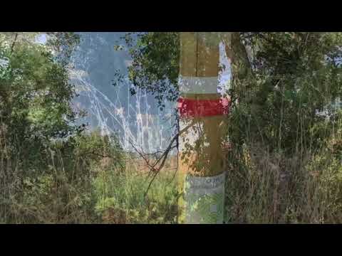
The second section of this route goes through some hundred-year-old olive groves to the kilometre marker 23. Its second part is more spectacular as it runs between the water wheels of Aceńa and Agusadera, along the ticket and trees on the riverbank of the Genil and past its pools to the end of this section.
Summary
In contrast to the first Stage, this second leaves the sea of Olive trees of Mįlaga province and the undulating track over the white clay hills behind. Instead, it has a gentle downhill slope, often along the meandering River Genil. Most of the route runs through the municipality of Cuevas de San Marcos, while the last section is through that of Cuevas Bajas.
It starts near the Iznįjar reservoir, which is split between the provinces of Córdoba, Mįlaga and Granada and is known as the Lake of Andalusia. It is only visible at the beginning of the stage and has the largest capacity in Andalucia with 981 Hm³, covering an enormous surface area and 100 kilometres of shoreline.
In addition to country tracks parallel to the river, ancient riverside routes and farm irrigation tracks, the Stage uses some narrow footpaths along the River Genil going south-west, the same as the direction of flow. It follows the same wide arc as the river itself, over clays and gypsum, which forms the boundary between Malaga’s and Cordoba’s countryside.
The village of Cuevas de San Marcos lies at a height of 430 metres above sea level, overlooking the wide valley just over 100 metres below. The first 4 kilometres are over the slopes covered in centuries-old Olive groves and past the streams that flow down from the hills (from the previous Stage) and into the large river.
From then on, the route is effectively along the banks of the river. This fortunately maintains a reasonable volume of water, thanks to the appropriate environmental management of the reservoir. Even white-water rafting is possible after controlled releases. It has also allowed the riverside flora to stay in exceptionally well preserved, perhaps the greatest appeal of this interesting route.
However, this lush strip of land also has aspects that would be unexpected in the Province’s other areas. For example, La Aceńa and La Agusadera waterwheels used for irrigation, which are well explained by easy-to-interpret information boards.
The best
The walk along the Genil riverbanks river in the direction of the water flow, through the olive groves, and spectacular wheels of Aceńa and Agusadera are the best parts of this trail.