Itinerary
If the first Stage has a predominantly southwest direction and ascends to an altitude of 740 meters in the Escarihuela area, with a significant difference in elevation between the start and the finish, the last Stage of the Alternative Route is much longer and more demanding
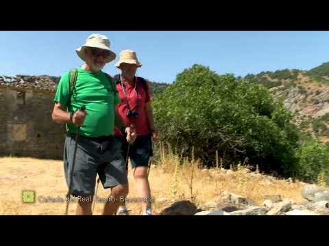
The Alternative Route starts at kilometre 5.7 of Stage 24 of the Great Málaga Path, between Ronda and Benaoján. More precisely, in the area known as Hoyo de Tabares, near La Indiana, which is your reference point. It runs through the mountains of the Sierras de Líbar and the municipalities of Ronda, Montejaque, Benaoján, Cortes de la Frontera, Benalauría and Benarrabá. The Plains of La Escribana, in Genalguacil, are the finishing point after a total of 52.1 kilometres.
The route takes a south-westerly heading, through the Sierras de Líbar mountain ranges and also during the middle section along the Guadiaro valley as far as Las Buitreras. From Carboneras Gorge, it then takes a slightly more easterly course, climbing up to El Espino pass, from where it joins the River Genal valley. Passing through the town of Benarrabá, it then links up with the river and Stage 27 of the GR 249 at kilometre 9.5.
Summary
This long stage, which concludes the Alternative Route, links the rivers Guadiaro and Genal in a predominantly easterly direction, while looping around El Opayar and the hill of El Panderón.
Using ancient livestock tracks and historic routes at all times, it sets off uphill with the River Guadiaro on your right, downstream from the Buitreras dam and runs up the highest part of this gorge. It then continues along another ravine, that of the Carboneras stream, following it up to the source of one of its tributaries, Las Enrriaderas stream. In doing so, it passes through the emblematic crossroads of Las Eras pass. In total, climbing more than 500 metres in elevation over a distance of some 9 km, up to the highest point of the day. El Espino pass is the watershed between the two mountain rivers, so the last 4.5 kilometres it drops the 645 metres in elevation to the Genal.
Up to the bridge of Las Pepas at the one kilometre mark, it travels over land belonging to Cortes de la Frontera. Then up to the ravine of El Tajo del Canuto, over land of Benalauría (6.5 km). However, most of it is through the elongated district of Benarrabá, which you get to know well during stage, from its western end at Las Buitreras to the eastern at La Escribana. To add to this list, the link up with the main Great Path route takes place in the municipality of Genalguacil.
The best
Apart from the evident appeal of linking up the Guadiaro and Genal along a certified trail, it is the enormous variety of landscapes that stand out on this stage. From an open v-shaped valley with dozens of hectares of farmland, to two gorges, one of limestone and the other of marlaceous limestone with sheer cliffs. As for the forests, there are Holm, Gall and Cork oaks and Chestnuts, in woodland that is hundreds of years old, contrasting with other much younger woods. The lithology is just as diverse, with examples of sandstone, slate and quartzite. Thus, the stage displays a true compendium of what the uplands of the Serranía de Ronda are all about.